About
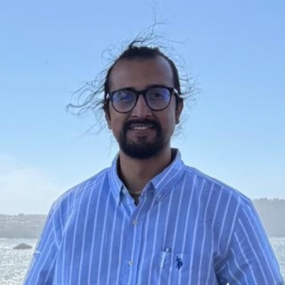
Sushil Paudel
PhD Researcher · Founder, The CEDAR Lab
I’m a researcher working at the intersection of geospatial artificial intelligence and ecology. My work combines machine learning, remote sensing, and spatial analysis to study forest and landscape dynamics — understanding how ecosystems change and what we can do about it.
I founded The CEDAR Lab (Computational Ecology, Data Analytics & Remote Sensing) to advance open, reproducible research in geospatial ecology, and I run the GeoAI for Ecology YouTube channel to make these methods accessible to a wider audience.
Background
My research draws on forest ecology, landscape ecology, geospatial data science, and AI. I’m particularly interested in how we can use freely available satellite data and modern machine learning to answer ecological questions that matter for conservation and land management.
I believe in open science — the tools we build, the code we write, and the knowledge we generate should be accessible to everyone. Everything on this site, from the software to the tutorials, is released openly so that others can use, check, and build on it.
What I’m Working On
Forest landscape modeling
Making the iLAND simulation model usable from within QGIS, so that forest and disturbance modeling doesn’t require leaving your GIS environment.
Open R tooling
Building forestPulse to take forest field plots and drone imagery through to analysis-ready summaries and iLand model inputs.
Teaching & outreach
Producing video tutorials and written guides on remote sensing, GIS, and geospatial AI for ecologists getting started with these methods.
Get in Touch
I’m always open to collaborations, speaking invitations, and questions about the research or the tools. Drop me a message and I’ll get back to you.
Prefer somewhere else? For anything tool-specific, open an issue on forestPulse or iLAND Workbench — or leave a comment on the YouTube channel.
Elsewhere
GitHub
Source code for forestPulse and iLAND Workbench, plus everything else I work on in the open.
Open Source
YouTube
Tutorials and explainers on GeoAI and ecological remote sensing.
Tutorials